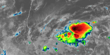
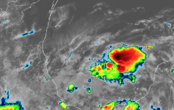
The 2019 Atlantic hurricane season is officially underway and the southwestern Gulf of Mexico is being monitored for potential tropical activity early this week.
A broad area of unsettled weather traversing across the Bay of Campeche is the area being monitored for potential tropical development.
An Air Force Reserve reconnaissance aircraft may be sent out to investigate the area of unsettled weather on Sunday, according to the National Hurricane Center.

This image of the southwestern Gulf of Mexico taken early Sunday, June 2, 2019, shows a swirl of clouds in the area of concern. (NOAA)
“Given sufficiently warm water, this low pressure area could evolve into an organized tropical system” Kottlowski said.
There is also relatively low wind shear, or changing of wind speed and/or direction with altitude, over the Bay of Campeche, which provides a conducive environment for tropical features to organize.
Strengthening to a tropical depression or even a tropical storm is
possible before the low pressure area reaches the east coast of Mexico
later Monday into Tuesday.

Should the feature manage to stay offshore and take a more
northward track, perhaps paralleling the Mexico and South Texas coast,
the chance of development to a tropical storm may be significantly
greater.
The next tropical storm that develops in the Atlantic will be called Barry.


