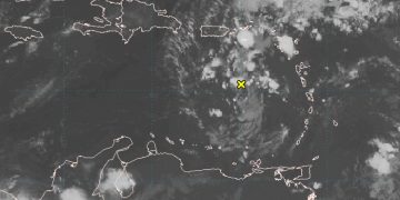
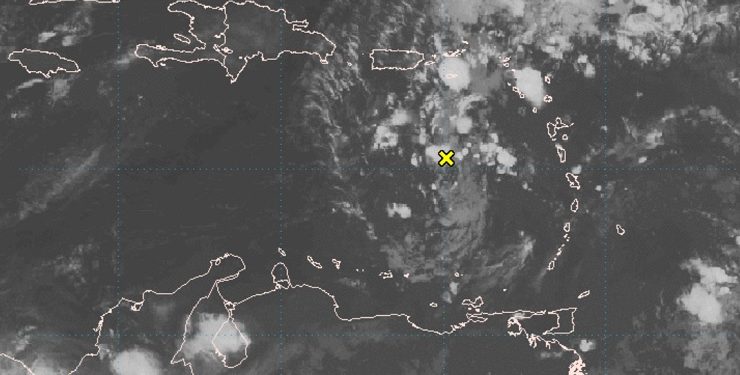
BRIDGETOWN, Barbados, Monday July 29, 2019 – A tropical disturbance that has been moving across the Caribbean Sea is not likely to develop into a storm right now, but forecasters say that could change in coming days and it could become the fourth tropical depression of the 2019 Atlantic hurricane season before going on to become Tropical Storm Chantal.
Shower activity associated with the tropical wave over the eastern Caribbean Sea is currently disorganized and limited, according to the National Hurricane Centre (NHC).
“Little or no development of this disturbance is anticipated during the next couple of days. However, conditions could be a little more conducive for tropical cyclone formation when the system reaches the Florida Straits or the Bahamas over the weekend,” the NHC said this morning, adding that formation chance through 48 hours is low – 10 per cent, which is the same probability for formation through the next five days.
As the system moves west-northwestward across the Caribbean Sea and the Greater Antilles during the next few days, it is expected to bring locally heavy rainfall and possibly some flooding across portions of these islands.
AccuWeather Meteorologist Brett Rathbun said waters are sufficiently warm for development of the system.
“However, there is some wind shear in the path of the disturbance and its forecast path takes the centre just south of Puerto Rico and near Hispaniola at midweek,” he said.

Forecasters say if the system survives after this, conditions may be such to allow for organization and strengthening as it moves northwestward through the Bahamas and approaches the Florida Peninsula during the second half of the week.
Interests from Florida and the Bahamas to the northern Caribbean are therefore advised to monitor the progress of the disturbance.


